 The
The
major natural disasters (hurricanes, tsunamis, earthquakes, floods,
forest fires, volcanic eruptions, etc.) that strike our planet every
year cause heavy damages and many human casualties.
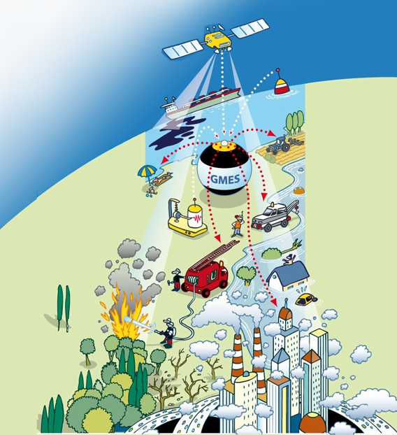
[gmes.info] In such
situations, where every minute gained can save lives, rescue teams must
operate rapidly and efficiently. In particular, they must be able to
identify as quickly as possible where intervention should be
concentrated and how to arrive on spot. They must also determine where
rescue infrastructures (e.g. medical units) can be deployed and
identify secure areas for temporarily hosting homeless people.
In
case of major earthquakes or floods for instance, the context in which
these decisions are taken can be made even more challenging by the fact
that existing maps have suddenly become out of date, due to dramatic
changes in the road accessibility.
As recently illustrated by
the relief operations that followed the major 7.0-magnitude earthquake
that struck the Haitian capital of Port-au-Prince and its neighborhoods
on 12 January 2010, rescue teams need to be provided with a rapid
mapping capacity in order to:
- Identify affected areas;
- Assess damages;
- Assess accessibility;
- Locate spontaneous people gatherings;
- Determine secure vs. risky areas (e.g. in case of an aftershock for an earthquake or an extension of a flooded area).
Two
days after the earthquake in Haiti, Catherine Ashton (High
Representative of the European Union for Foreign Affairs and Security
Policy) declared during a press conference: "We are now putting all
the different elements together that are at our disposal: Humanitarian
relief, civil protection, but also other instruments [such] as
satellite images provided by our Global Monitoring System (GMES) that
are important for the coordination of the UN efforts on the ground."
In
the days that have followed the earthquake, GMES has indeed provided
several Civil Protection Authorities (French and German) as well as
international or non governmental associations (e.g. United Nations
Division of Field Support, United Nations World Food Programme, Spanish
Red Cross) with rapid mapping.
Practically, two different GMES
services were solicited in the aftermath of this major disaster: the
GMES Emergency Response Service developed by the SAFER project and the GMES Security Service developed by the G-MOSAIC project. Both were activated on 14 January 2010.
Here are some examples of the products delivered by these two projects:
Source: http://www.gmes.info/pages-principales/projects/emergency-projects/gmes-services-for-haiti/